Over one year on and the abandoned vessels and bach communities on Rangitoto Island continue to capture the interest of the public. A recent radio interview by David Steemson from Radio New Zealand is now available online.
The last post—Two weeks in one day (movie)
With fieldwork now finished this is the last piece of the pie. We hope that you have enjoyed the blog and thank you for all of the support. The video documents our time on the island and the work that was carried out—enjoy! /KB
Zoom behind the scenes
Preliminary results and a big thank you!
With fieldwork now complete, I am able to release some preliminary results from our surveys. After spending 55 hours on Rangitoto Island spread over 12 field days and 97km of walking, we managed to record 11 abandoned vessel sites and 101 bach sites. The abandoned vessels at Boulder Bay/Wreck Bay had limited signs of salvage activities. Bolt deposits, a fire pit and saw marks in timber were all recorded as possible acts of salvage. In terms of the reuse of ship material, all three bach communities (Beacon End, Rangitoto Wharf and Islington Bay) were found to have definite ship material and other possible ship material. The possible ship material is linked to unidentifiable pieces of timber with fasteners found at the bach sites. Other recorded material included possible ships doors and water tanks.
In conclusion the Rangitoto Island ships’ graveyard displays acts of salvage and the baches display reuse of salvaged ship material. Through archaeology the link between the communities and Boulder Bay is not conclusive, however, with the addition of archival research and oral history interviews, it suggests there is a link between the bach sites and abandoned vessels.
Of course these results could not have been achieved without the help and support of everyone who has been involved.
Special thanks to
- The research team for volunteering their time, knowledge and equipment
- Oral history participants (bach owners/families) for sharing their time and memories
- The bach owners who provided access to view the inside of their baches
- Rangitoto Island Historic Conservation Trust
- Rangitoto Island Bach Community Association
- Department of Conservation, Historic Heritage Branch
- Auckland Council
- Fullers staff
- Birkenhead Library
- Maritime Archaeological Association of New Zealand
- Voyager Maritime Museum archives
- Auckland War Memorial Museum
- Flinders University
and thank you to all the people who have followed and commented on the blog. We hope this blog has been informative and engaging for you. The final video documenting our work will be posted in the next few days. /KB
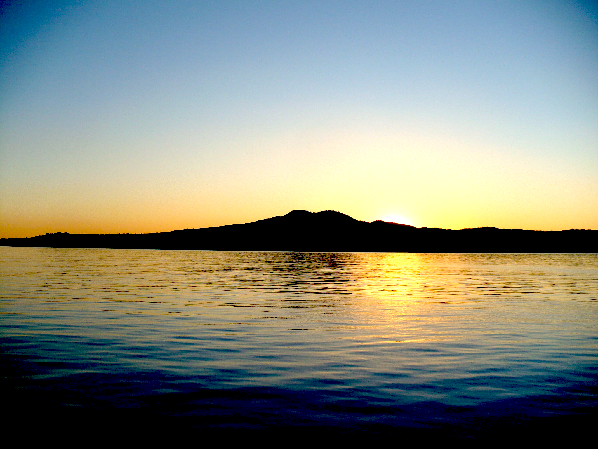
Rangitoto Island at sunset
In perspective
The day is here—we finished our surveys on Rangitoto Island! We recorded our last two bach sites at Rangitoto Wharf by 11:00 and found no vessel material. We then made our way up to the summit to take photos back to each of the communities and Boulder Bay. Along with compass bearings, the photos put in perspective where the communities and vessels are located in relation to the summit. The day was also a stunner, so it gave us workers a well earned 360 degree view of the wider Auckland area. It was a refreshing change from dense bush and coastline, although you can’t really complain either way.

Kurt logging photographs and compass bearings at Rangitoto summit

Islington Bay from Rangitoto summit

Rangitoto Wharf from Rangitoto summit

Beacon End from Rangitoto summit
After the summit, we made our way to Wreck Bay to take some more measurements of Columbia‘s timber frames. This data will be used to determine if the timbers found at the bach sites are likely to have come from the Wreck Bay.
The surveys have been completed and it is with sadness we say goodbye to Rangitoto Island, although I think our legs are looking forward to a break! There is still a lot of work to be done and over the coming months the results will be compiled with the final thesis submitted in December. /KB

Waving goodbye to Rangitoto
The penultimate day…
Today was most likely our second to last day on Rangitoto. We returned to Rangitoto Wharf where we recorded another 11 extant and demolished baches.

Kurt and Maddy consulting the map to identify demolished baches

An extra volunteer today: Howard in archaeology mode
We also fixed a GPS position on several of the public buildings at the wharf, like the store, honey house, changing rooms, telephone and swimming pool. We were lucky in meeting a couple of bach owners who are staying in their bach at the moment, who were very welcoming and allowed us to view the interior of the bach.

Bach at Rangitoto Wharf

Bach at Rangitoto Wharf

Bach at Rangitoto Wharf
Vessel material located was two possible ships tanks. After getting a lift both ways today, from Islington Bay and Rangitoto Wharf, we are now in a good position to complete the archaeological surveys tomorrow. /MF
Flinders students researching around the globe
Kurt is just one of several Flinders University Masters of Maritime Archaeology students conducting their thesis fieldwork or participating in projects at the moment. Lauren Davison is in the Gold Coast, QLD, participating in the Maritime Archaeology Field Practicum to collect data for her thesis.

Lauren taking timber samples
Hunter Brendel is on the Lighthouse Archeological Maritime Program field school in Florida, USA.

Hunter getting ready for a dive
Finally, Chelsea, Colwell-Pasch is participating in Project SAMPHIRE on Scotland’s west coast, having already been in the region completing thesis research.

Chelsea (middle right) with other researchers on Project SAMPHIRE
To read more about their projects and other fieldwork at Flinders Uni, including Indigenous and historical archaeology, see the Flinders Archaeology Blog. /MF
On the coast, up the hill, some are here, some are gone
Today, we returned back to Rangitoto Wharf and continued on from yesterday. The surveyed bach sites ranged from existing dwellings to demolished sites and were located along the coastal track and tucked amongst the trees inland. Once neatly manicured tracks are now heavily disguised with overgrown vegetation. After bashing your way through the bush, a clearing where a building once stood proud, can be seen.

An existing inland bach, Rangitoto Wharf

An inland bach site which has been demolished, Rangitoto Wharf
When looking for a demolished bach site, you need to look for a large clearing amongst the trees, usually flat and a stone lined pathway leading to the site. Once at the site you can expect to find cultural remains, such as, water tanks, outhouses (long drops), concrete foundations, corrugated iron, fibrolite (asbestos-cement sheeting), ceramics, window glass and a bottle dump. We may think the baches no longer remain but cultural features still remind us of a holiday retreat. As for archaeology, so much could be learned about the behaviour of bach residents, but this will have to be sidelined for a future project! /KB

Kurt at an existing coastal bach with an associated boat ramp, Rangitoto Wharf

The view from a demolished coastal bach at Rangitoto Wharf
What to bring?
Archaeology survey’s require different pieces of equipment and not just an iPad. Each day, in addition to the iPad, we carry:
- 3 tape measures (1m, 5m and 50m)
- 3 cameras
- 2 GPS units/compass
- Spare batteries (AA)
- Compass
- Range pole/photographic scale (1.75m)
- 4 Scale cards (8cm)
- A north arrow
- A notebook
- Pens and pencils
This is spread over 2 bags with lunch and personal (warm/waterproof) clothes. If you are traveling to a remote location, always take extra as you never know when you might need it! /KB
Rangitoto Wharf
Today was the first day of recording baches at the Rangitoto Wharf bach community.

A bach with a boat shed at Rangitoto Wharf
This group of baches is located on the southern side of the island and is the largest of the three, slightly larger than Islington Bay.

Maddy photographing the facade of a bach, Rangitoto Wharf
This is usually the central hub for ferries and tourists however the wharf is being rebuilt which is why we are taking the ferry to Islington Bay for fieldwork. Starting at the western end of the community, we worked our way back to the east, towards Islington Bay, and recorded 13 baches.

Kurt setting up the range pole for a photograph of a bach, Rangitoto Wharf
We were also lucky to get a lift back to the ferry, saving an hour-long walk. Tomorrow, we will be returning to where we left off today. /MF

Kurt and Maddy recording a bach site which has been demolished, Rangitoto Wharf
